.png)
Traffic Calming Task Force
Purpose
The Traffic Committee handles speed and safety complaints related to vehicular traffic in the neighborhood. Prior groups were primarily focused on implementation of traffic calming projects funded by the Atlantic Station settlement in 2000, but now that those funds have been used the traffic committee focuses on engaging with the City of Atlanta to address known issues.
Committee Members
Michael Messner, Chair traffic@ansleypark.org
- David Abraham
- Anne Fagan-Podber
- Mark McLaughlin
History
Implementation of the final phase of Traffic Calming initiatives funded by the Atlantic Station settlement occurred in 2017. This was a long, tedious process that included countless meetings with residents, engineers, city officials and other constituencies over 15 years. Leadership of traffic calming changed hands several times, as did the presidency of Ansley Park Civic Association.
In this section of the website, you can read about the history of traffic calming in Ansley Park. APCA will continue to look for funds to implement additional traffic calming projects given that the existing funds have been significantly depleted, but at this stage, our focus will primarily turn to advocating for city-funded improvements where possible.
Traffic calming and pedestrian safety efforts in Ansley Park date back to the 1960s, but a significant initiative was launched in 2000 when APCA reached an agreement with Jacoby Development, Inc., builders of Atlantic Station. A key component of the project was a new bridge at 17th Street that connects the development to Midtown. APCA withheld support initially, due to concerns about the anticipated increase in traffic through the neighborhood. After many months of intense negotiations that included the Georgia Regional Transit Authority, the Georgia Department of Transportation and the City of Atlanta, Jacoby agreed to give APCA $3.16 million for traffic calming initiatives, and APCA agreed to withdraw its objections.
The terms of the agreement mandated that professional traffic studies and analyses would be conducted to identify appropriate remedial and/or preventive steps to deter “cut-through” traffic and to slow all traffic in the neighborhood. This work began with a study of external areas that resulted in several traffic calming and pedestrian safety improvements on the western side of the neighborhood in 2004. The improvements included adding an entrance onto the I-85 connector from the southbound lane of Peachtree Street, left and right turn only restrictions at Peachtree Street for east bound traffic off the I-85 connector at Rhodes Hall and at 17th Street and signage directing eastbound 17th Street traffic onto West Peachtree Street.
APCA selected Glatting Jackson, a Florida based engineering and design firm, to do the studies and design work, because of their experience in traffic calming as well as Day-Wilburn, a local engineering firm. A key concern was to maintain the historical character and curb lines of the neighborhood, while taking advantage of new safety features and technology. The resulting plan for internal modifications was extensive but unfortunately, was estimated to cost approximately $6 million. The Traffic Committee worked diligently to apply for grants that would raise the incremental $3 million.
From late 2001 through the end of 2003, the concept plan was shared with residents in over 50 street, block, intersection, town hall and small group meetings in which concerns, suggestions and other feedback were gathered. Reaching consensus was extremely difficult. At the end of 2003, a petition to confirm neighborhood support of the concept plan was circulated, and 97% of the property owners in Ansley Park who signed the petition voted in support.
From 2004 to 2006, the Traffic Committee worked with GDOT, various departments of the city, traffic engineers and designers to refine the concept plan and continued to have extensive discussions with residents about the plan. At the end of 2006, a neighborhood wide vote was held, and the Master Plan was approved.
By 2007, the recession was looming, and it was clear that the only additional grant Ansley would get was a GDOT Transportation Enhancement (TE) grant for $500,000. The TE grant was designated for traffic calming along the Peachtree Circle corridor. With no additional funds in sight, the APCA Board decided to scale back the Master Plan to fit the $3.66 million budget. In 2008, APCA hired Travis Pruitt Engineering, DPE Engineering and Tunnell and Tunnell Landscape Architects as their new traffic plan consultants. This revised plan was more limited, but it was understood that elements would be added back, if additional funds could be raised in the future.
In the summer of 2011, the first steps in implementation began. To address excessive speed issues on Beverly Road between Montgomery Ferry and Peachtree Streets and on Westminster Drive between Peachtree Circle and The Prado, speed indicator signs were installed to notify speeders when they are exceeding the speed limit. The next area to be addressed was the safety threat to pedestrians along Polo Drive, directly south of Ansley Golf Club, because there was no sidewalk. After installing the Polo sidewalk, the next phase involved better controlling the movement and lowering speeds of vehicles entering Ansley Park at the four entrances off of Piedmont Road. To accomplish this, enhanced islands and traffic medians were installed at Avery Drive, Westminster Drive, The Prado, and South Prado.
By 2013, everything was in place to tackle the most difficult component, the Peachtree Circle roundabouts, beginning with the one at The Prado. While Ansley was excited to get $500,000 from GDOT, the challenges that came with the grant were not anticipated. A stipulation of the grant was that the City would select and manage the contractor, and the City requires that all contracts they manage go to the lowest bidder. A further complication was the poor state of Ansley Park’s 100 year-old underground infrastructure. What started as a three-month project took close to a year and was plagued with cost overruns, broken pipes, diverted traffic and other complications. Part way through the project, APCA engaged Arnie Silverman of Silverman Construction Management as an advisor, because of his extensive experience in managing these types of projects with the City. Upon completion of this roundabout, the City and APCA agreed that it would be too costly and too disruptive to undertake construction of the one planned for 15th Street.
Experience had shown us over and over that even the revised scaled back plan from 2008 was much larger than the available funds could cover. Also, APCA had spent significant money over the years on consultants and engineers in attempts to find consensus with residents. In 2015, the most recent Traffic Calming Task Force, led by Pat Robinson, selected six sites from the Master Plan for using the remaining funds based on their ability to improve pedestrian safety, reduce driver confusion, and slow traffic down in known high speed areas.
The six sites were:
1) The intersection of The Prado, Montgomery Ferry Road and Maddox Drive (traffic circle and other improvements
2) Montgomery Ferry Road between The Prado and Beverly Road (speed table and other improvements)
3) Beverly Road between Peachtree Street and the blinking light at Montgomery Ferry Road (traffic calming)
4) The intersection of Montgomery Ferry Road and Polo Drive (striping/signage improvements)
5) The intersection of Beverly Road and Polo (near the first green of Ansley Golf Course) (traffic circle and other improvements)
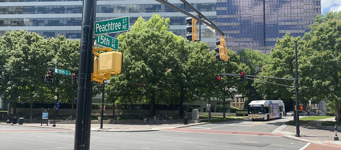
6) The intersection of 15th Street and Peachtree Circle (striping/signage improvements)
In June, 2015, APCA hired Kimley Horn, a respected engineering firm that has done work for Midtown and other historic neighborhoods to update these sections of the Master Plan, based on what had been learned from previous projects, changes in traffic regulations, and APCA’s available funds. Over the summer of 2015, meetings were held with residents in the affected areas to get their input and, later, to provide feedback on the designs. These final projects reflected what was able to be accomplished with remaining limited funds and what the City of Atlanta would allow us to implement. The most significant changes were on Beverly Road. After the Master Plan was approved, the City designated the Beverly/Montgomery Ferry/Polo corridor from Peachtree Street to Monroe Drive “collector streets” and prohibited the construction of speed bumps on those collector streets, taking away an obvious solution for reducing speed. The resulting new traffic calming design represented the input from the affected residents. At two locations, Montgomery Ferry/Polo and 15th/Peachtree Circle intersections, the plan was reduced to signage and striping improvements instead of traffic circles due to complications and limited funds.
Silverman Construction Management was hired to manage the project. Kimley Horn prepared construction drawings and helped us get the necessary permits. Construction began in 2016, and in 2017 all of the projects were substantially completed.
We all owe a great deal of thanks to the many people who have worked extremely hard and contributed countless hours over the years to address the ongoing safety and traffic issues in our neighborhood. As a committee, we welcome all traffic concerns that you want to share with us. We will work as an advocate for the neighborhood with the City of Atlanta and other stakeholders to push for continued improvements and repairs that improve our quality of life in Ansley Park.
Fifteenth Street corridor enhancement project
click here
 Ansley Park Civic Association | PO Box 570119 | Atlanta, GA 30357 - Contact Us